
Stevens Point House History Sources
Different eras call for different evidence. Modern assessment data supplies the current parcel and assessed owner. Recorded instruments extend ownership backward. A city directory or census can name occupants, while a Sanborn map supplies the shape and use of a building rather than a household. Start with the row nearest the target date, then verify it with another source.
| Source | Years It Covers | Where Held | What It Shows |
|---|---|---|---|
| City assessment and tax | Current data; exact historical depth not stated | Stevens Point portal and assessor | Parcel, owner, mailing and property address, legal description |
| Recorded land index | Coverage cutoff not stated in reviewed sources | Register of Deeds and Tapestry | Grantor, grantee, instrument, date, legal description |
| Digitized directories | 1889–90, 1893, 1896, 1901–02, 1920–21 | UWSP Archives | Dated names, addresses, roles, and some street sections |
| Federal census | Public schedules through 1950 under the 72-year rule | NARA and library databases | Household snapshot and relationships as recorded |
| Sanborn maps | 1884, 1891, 1898, 1904, 1912 | LOC and Wisconsin Historical Society | Footprint, use, materials, street context |
| 1965 number bridge | 1964 names and August 1, 1965 change | Portage County Historical Society | Present number, occupant lead, new number |
For a recent trail, begin with the parcel and deed chain. For a turn-of-the-century question, begin with the nearest directory year and a Sanborn sheet. A census is strongest for a decennial household snapshot, but an address may require enumeration maps and adjacent households to identify the right schedule page.
Bridge Stevens Point's Old Numbers
A modern address can fail in an older source because Stevens Point changed numbers citywide. The 1965 renumbering guide was based on names from the 1964 Polk directory and took effect August 1, 1965. It lists a present number, occupant lead, and new number. Downtown numbers generally advanced about four digits, while residential numbers generally advanced about eight digits per lot.
Treat the occupant column as a clue from one directory, not proof for all of 1965. Check the pre-change number in the source volume. Then test the new number in a later directory, parcel card, tax record, deed, map, or newspaper. Carry the legal description across the change whenever possible. This human-use bridge is one of the best local tools for reconnecting a family's memory of an old address to today's property.
Note: A failed old-number search may show only that the wrong address era was used, not that the household left Stevens Point.
Trace Portage County Deeds Backward
The city property search gives a modern starting owner, parcel, and legal description. Carry the legal description into the Portage County Register of Deeds route. The county links Tapestry, but the reviewed sources do not state the complete index cutoff, exact fields, or image price. Confirm current terms before relying on remote access.
The county-linked Tapestry entry point is the remote route for recorded land research.
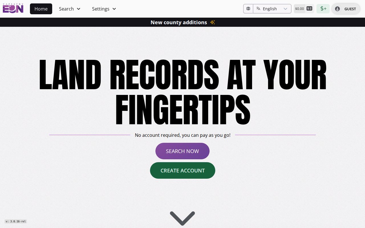
The captured screen identifies the vendor route, while the Register of Deeds remains the custodian for help, older volumes, and official copies.
- Record the current assessed owner, parcel number, property address, and complete legal description.
- Find that owner's acquisition deed and copy its instrument number, date, grantor, grantee, and legal description.
- Search the seller as a prior grantee to locate the earlier acquisition, testing spelling and estate or trust forms.
- Repeat the chain while the parcel and legal description remain consistent, noting splits, combinations, easements, and index gaps.
- Ask the Register of Deeds which tract index, volume, microfilm, or in-person method continues before the online coverage.
- Grantor / grantee
- The grantor transfers a recorded interest; the grantee receives it.
- Chain of title
- The sequence of recorded transfers tied to the same land.
- Legal description
- The lot, block, survey, or land description that can remain stable when a street number changes.
Stevens Point Archives Fill Gaps
When online records stop, local institutions offer distinct access routes. The Portage County Public Library genealogy and history collection includes newspapers, city directories, yearbooks, indexes, family histories, and library databases. The second-floor local-history desk can help identify the right volume. Some databases work only inside the library.
UWSP Archives welcomes the public by appointment and shares access to university records, area collections, and Portage County Historical Society materials. Bring the modern address, possible old number, street variants, parcel or survey description, and target dates. Record the repository, collection, series, box or volume, page, and any copy restriction.
The Portage County Historical Society research service offers CatalogIt, collection routes, and paid research. Its listed rate is $25 per hour for individuals and $100 per hour for businesses, with a member waiver. Ask one narrow question, such as which directory years list a given street number.
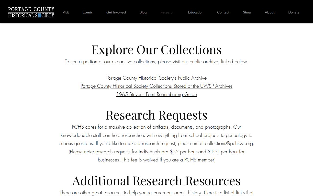
The captured research page shows the local fallback for house-history evidence that is not fully indexed online.
Map Earlier Stevens Point Buildings
Sanborn fire-insurance maps answer a different question from directories. Official collection records identify Stevens Point maps for 1884, 1891, 1898, 1904, and 1912. A sheet may show the street, number, footprint, construction material, use, outbuildings, and fire-risk context. It rarely names all previous residents.
Use the Wisconsin Historical Society 1891 Stevens Point record as a dated map source.
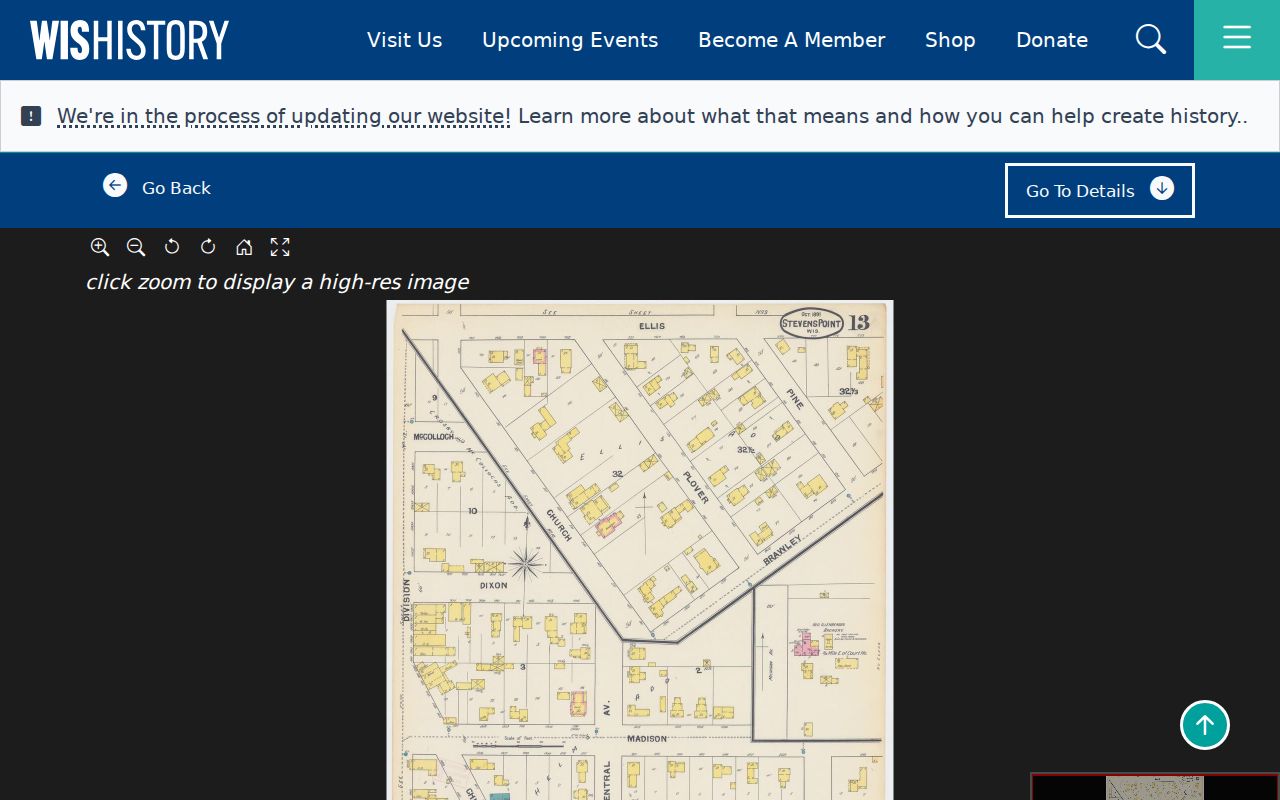
The sheet can test whether a building footprint existed before a known directory entry, but it cannot show that the modern structure is unchanged.
Local fire history adds a needed caution. Four buildings burned in 1861, and a 1866 fire damaged or destroyed 32 buildings. A gap or sudden address change around a fire may reflect rebuilding, not a household move. Compare the event date with newspapers, deeds, later maps, and assessment evidence.
Separate Stevens Point Resident Roles
A four-source house history works only when roles stay distinct. The assessment card identifies an assessed owner and perhaps a mailing addressee. GIS identifies the parcel. A deed records a legal interest. A directory may list an occupant, boarder, business, officer, or householder. A Sanborn sheet describes a footprint or use.
| Role | Safe conclusion |
|---|---|
| Assessed owner | The roll associated that owner with the parcel on its effective date |
| Mailing addressee | The bill or notice used that mailing address |
| Directory occupant | The publication placed the name at the address under its inclusion rules |
| Grantor or grantee | The recorded instrument gave the party that legal role |
| Permit applicant | The person or entity applied for work described in the file |
Do not merge these labels into a single residence claim. The dates may differ, the parcel may have split, and a trust or estate may stand between a person and the property.
Stevens Point Names Afterward
The Central Wisconsin Genealogy Index helps continue the trail after a person leaves a directory. Its obituary, naturalization, and census references can supply a publication, year, county, or record lead. A cemetery index may confirm burial while leaving residence unresolved, and probate can name heirs without proving that each heir lived at the property.
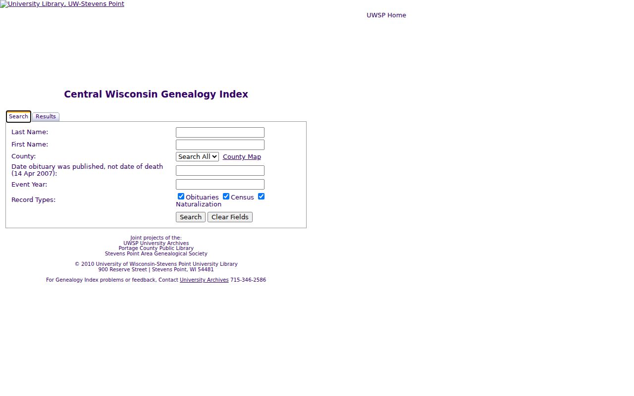
The captured index is an entry point. Retrieve the newspaper image, census schedule, naturalization file, cemetery record, or probate case before making a final link.
For probate routing, contact the Portage County Register in Probate. Some guardianship, adoption, juvenile, and commitment matters are restricted. Ask for the specific public case or file, and use the county courthouse rather than assuming every record is online.
Stevens Point Past Household Evidence
Owners are only one layer of previous residents. Directory street sections and federal census schedules can place a named person or household at an address on a specific publication or enumeration date. Pair each hit with its title, year, section, and page. The full runs and reading methods belong on the Stevens Point city directory page; here, each volume is one dated checkpoint in the house trail.
Use the nearest directory year on both sides of a public census year. Find the street and number, note every displayed household role, then locate the census schedule through street, ward, enumeration district, and nearby names. Compare ages and relationships only as recorded. Repeat with the next directory year to test continuity.
Obituaries, cemetery indexes, and probate files can explain where a former occupant went or when a household ended. The UWSP Central Wisconsin Genealogy Index covers obituary, naturalization, and census leads. Retrieve the original newspaper page or court file before treating an index entry as proof.
Directory inclusion rules can also explain a missing previous resident. The 1896 Portage County volume describes adult Stevens Point residents and includes a street directory, while some town entries follow taxpayer-based rules. The 1901–02 and 1920–21 volumes contain street sections plus civic, school, church, business, and county material. Absence from one alphabetical list may reflect the publisher's scope, age rule, household convention, or a damaged page. Check the street section and the scanned page image instead of trusting OCR alone.
Build the timeline with two columns: what the source states and what remains an inference. A deed can show a transfer date without showing the move date. A census captures one enumeration point. A directory may repeat stale information. An obituary can call someone a former Stevens Point resident without naming the old house. Mark each gap, then seek a second dated source such as a tax roll, newspaper page, permit, cemetery record, or later deed. That method keeps the history useful even when no single record settles who lived there for every year.
Lawful use. Research previous residents for house history, genealogy, heirs, and personal curiosity. Never use an address trail to track, harass, or harm a living person.